

Professional Land Surveying
Precision You Can Build On
Licensed Texas land surveyors delivering accurate, court-admissible surveys for real estate, construction, and development projects across North Texas.
What We Do
Surveying Services
Boundary Surveys
Legally establish property lines with precision. Our boundary surveys are court-admissible and accepted by title companies, lenders, and government agencies.
Learn moreTopographic Surveys
Detailed elevation and contour mapping for site planning, drainage design, and engineering. Essential for any ground-up construction or land development project.
Learn moreALTA/NSPS Surveys
The gold standard for commercial real estate transactions. Our ALTA surveys meet all national standards and satisfy lender and title insurance requirements.
Learn moreConstruction Staking
Precise layout of structures, utilities, and infrastructure on the ground so your crews build exactly where the plans say — every time.
Learn more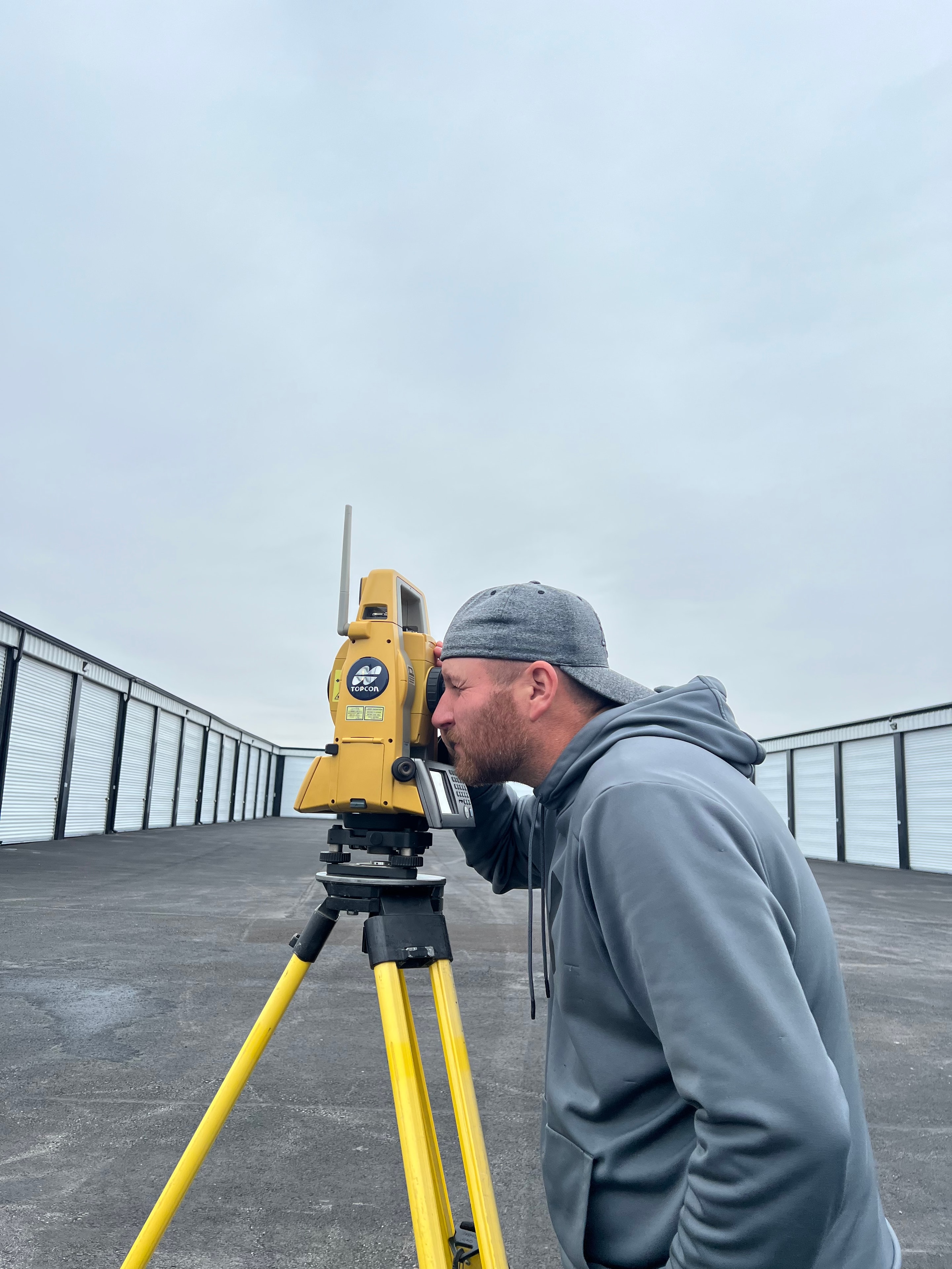
Why Choose Us
Experience and accuracy you can stake your project on
TBPELS Licensed Firm
Registered with the Texas Board of Professional Engineers and Land Surveyors (Firm No. 10193970). Every survey is signed and sealed by a licensed RPLS.
25+ Years in North Texas
Deep familiarity with local county records, deed descriptions, and terrain across Hunt, Hopkins, Delta, Lamar, and surrounding counties.
GPS & Drone Technology
We combine traditional field methods with modern GPS and drone technology to deliver faster turnaround without sacrificing accuracy.
Ready to get your survey started?
Tell us about your project and we'll get back to you within one business day with a quote.
No obligation. We respond within one business day.